

What's Behind Sudan's Drone War? Latest RSF Strike Kills 24 Amid Rising Aerial Attacks
Oasis Media Collective | Explainers Wire | February 10 2026

What Happened
On February 7, the Rapid Support Forces (RSF) launched a drone attack which resulted in at least 24 casualties, striking a vehicle carrying displaced families near Er Rahad city in North Kordofan province. Eight children were among the casualties.
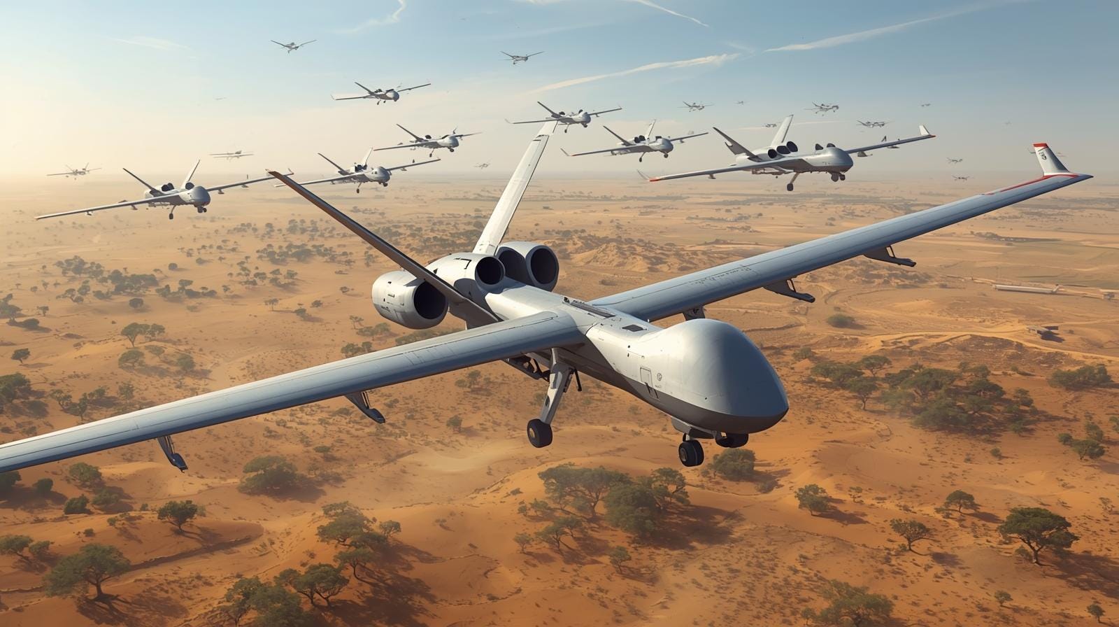
The attack is just one of many that have unfolded across the war-torn African country. Increasingly, drone warfare is becoming the new norm in Sudan, as the struggle between the RSF and the Sudanese Armed Forces (SAF) continues to unravel. Several aerial attacks have been launched across the nation since the beginning of the new year, with UN High Commissioner for Human Rights, Volker Turk, telling the UN Human Rights Council that 90 civilians were killed and 142 injured over the course of just two weeks.
This is far from a recent development in the war. Several drone strikes were carried out during 2025, stretching from Darfur in the west to Kassala in the east. The most prominent of such occurred last May, when the RSF struck the coastline city of Port Sudan along the Red Sea, the then SAF headquarters and de facto administrative capital of the country. The city’s international airport, a fuel depot, and the Osman Digna Air Base were among the targets.
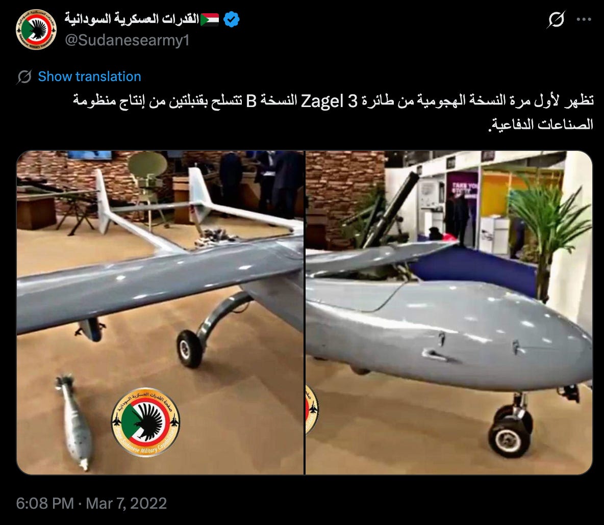
Nor is it exclusively the RSF. The SAF secured a decisive victory in February 2024 when it retook Omdurman, a key metropolitan city; analysts attributed the campaign’s success to the SAF’s deployment of Iranian Mohajer-6 drones. A 2022 post from the SAF’s official X account confirmed that the military had reengineered the Iranian-made HESA Ababil drone, a modification dubbed the “Zagel-3.”
Why It Matters
While the SAF dominates the country in terms of territorial control—controlling large swaths of the country’s central regions and eastern peripheries—the RSF still maintains a stronghold in the resource-rich Darfur region and the West Kordofan province. Both belligerents’ access to arm routes stretching across the country has effectively been cut off by the other, making traditional on-the-ground campaigns or hit-and-run tactics obsolete. Drones make up that difference.
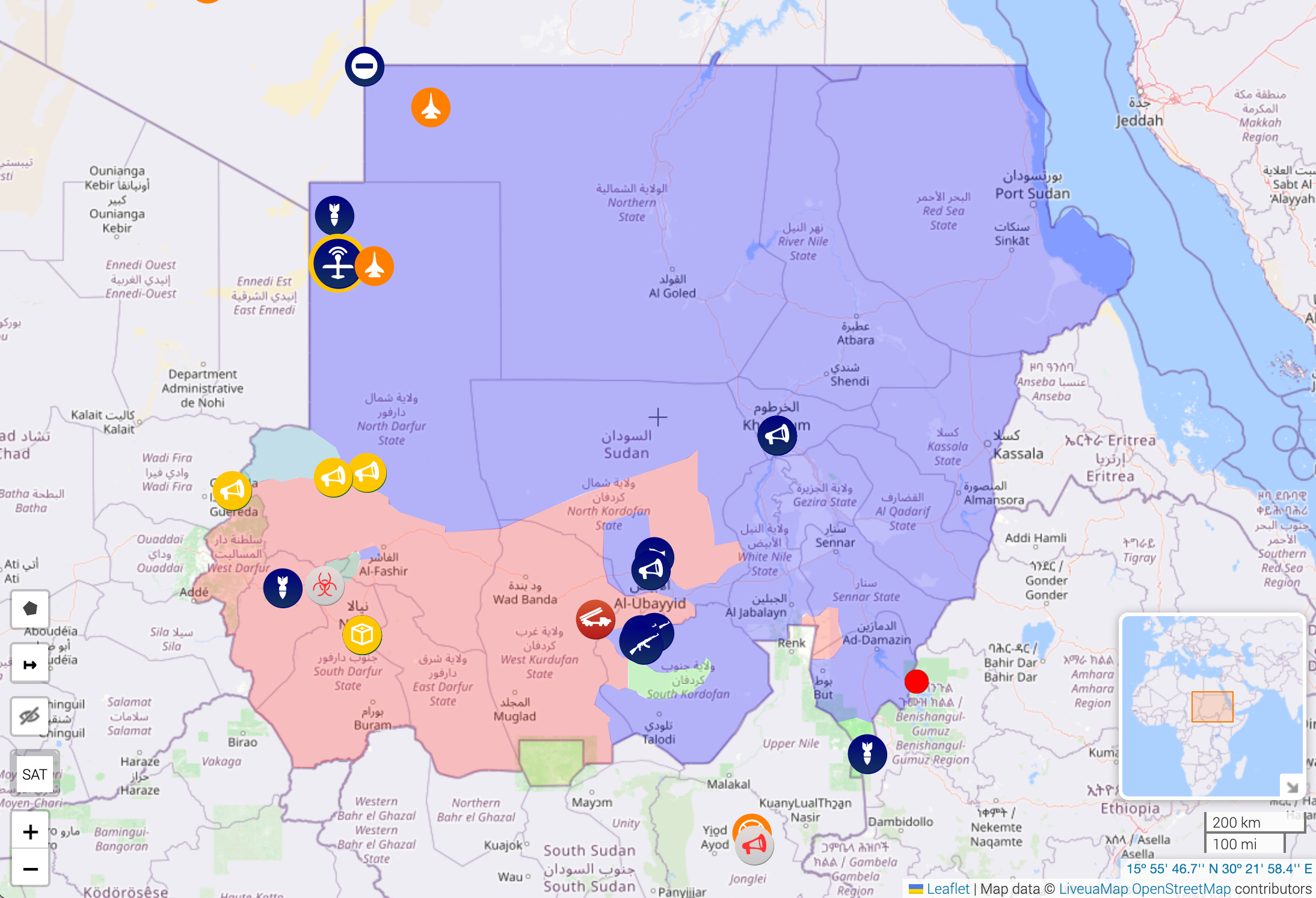
Furthermore, such technology allows each belligerent to strike deep into the other’s territory, ensuring targeting of even the most peripheral parts of the country. An analysis from the Yale Humanitarian Research Lab identified 13 delta-wing kamikaze drones near the Nyala airport in Darfur, an RSF stronghold; such drones typically have a range of about 1,200 miles (2,000 km), enabling the RSF to strike far beyond the landlocked terrains of Darfur.
Notably, the RSF’s heavy use of drone technology serves as a counterbalance to the SAF’s aerial superiority, significant given the recent reopening of the Khartoum International Airport.
What’s Next
When the RSF first emerged as a fighting force in the early 2000s as the Janjaweed, their combat tactics were remarkably unsophisticated. Village raids, targeted burning, and livestock ransom—all while mounted on camels and horseback. The group’s recent deployment of advanced defense weaponry in the ongoing conflict underscores a rising African trend: conflicts are literally being lifted from the ground into the skies. From the recent Tigray War in Ethiopia to the ongoing insurgency in Mali, air warfare is becoming the predominant warfare.
International onlookers will continue to watch closely. Countries that are becoming leading manufacturers and exporters of drone technology to Africa, such as Iran, will use these recent incidents to assess the capabilities of their own technology and that of competitors.
As for Sudan specifically, the deployment of drones will complicate ongoing peace efforts. Despite U.S. President Donald Trump’s declaration of intent to resolve the conflict, the heavy use of aerial technology will only disincentivize disarmament, as both the SAF and RSF aim for an advantage in the skies.
This reporting may be cited with attribution to Oasis Media Collective. For licensing, republication, or extended use, contact here.